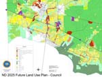
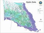
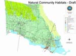
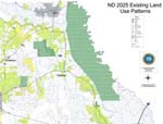
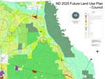
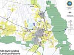
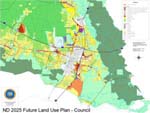
Future Land Use Maps
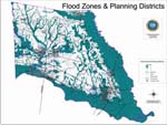
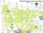
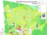
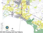
| ND2025 - Overall Maps | |
|---|---|
| ND2025 - Northwest Quadrant Maps | |
| ND2025 - Southwest Quadrant Maps | |
| ND2025 - Overall Maps | |
|
The maps here are produced in Adobe Acrobat format. You will need Acrobat Reader to view these maps. It may be obtained at http://www.adobe.com/ at no charge. Please note: |
|
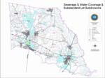
| ND2025 - Overall Maps | |
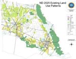
| ND2025 - Overall Maps | |
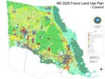
| ND2025 - Overall Maps | |
| ND2025 - Northeast Quadrant Maps | |
| ND2025 - Southeast Quadrant Maps | |